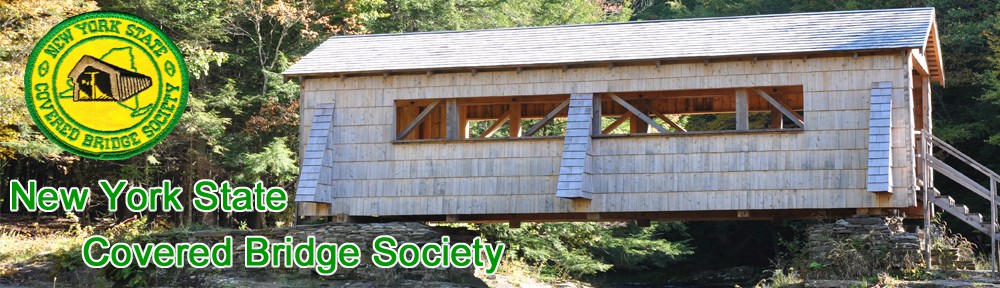


JAY COVERED BRIDGE ESSEX COUNTY NY-16-01 #3
Built in 1857 by George M. Burt. A single span of 175′ crossing the East Branch of the Au Sable River. Displays a Howe truss. Rehabilitated in 2007. From Jct. of Rt. 9N & Rt. 86 go right down the hill for .2 miles to the bridge. GPS: N44° 22.38′ W073° 43.50′
Jay Bridge NY-16-01
Jay Bridge was originally built in 1857 by George M Burt. It is listed on the New York State Register of Historic Places and has been approved for the National Register of Historic Places once it is put back across the Ausable River (it is currently setting in a field by the river).
It is located in the Town of Jay, east of State Route 9N on County Route 22 It is the only covered bridge in the Adirondacks, a Howe truss. It was over the east branch of the Ausable River but is being replaced by a new concrete/iron bridge. Many local residents demand its return across the river, there is some debate going on as to the proper location of the return location. It is hoped one day to have the bridge restored and replaced over the river.
The Jay Covered Bridge is the only covered bridge still standing in Essex County. It is presently owned by the county and carries pedestrian traffic across the East Branch of the Au Sable River.
In Jay, NY, the first covered bridge in this location was destroyed by the “Great Freshet” / flood of 1856. George M. Burt built the present day bridge in 1857 but it wasn’t actually covered until 1858. This 175-foot-long, single span structure incorporates the Howe truss design patented in 1840, and improved in 1850, by William Howe of Springfield, Massachusetts. It is one of only three Howe truss bridges in New York State. Original construction cost was $1,200.
Bits of information gleaned from reliable sources throw some light on the history of the old covered bridge. On September 30, 1856 it began to rain and during the night, a violent thunderstorm brought a torrent. David Heald (Hale) who had a cabin at Rainbow Falls, had been working on the dam and told afterward of the cataract he had seen on Mount Colvin – a cataract 2,000 feet high and a mile wide. The dam went out after 10 pm and the water rose almost three feet in fifteen minutes in the Keene Valley. Ten bridges crossing the east branch were carried downstream with the exception of the two at Keeseville. Included among the bridges that were carried away were the ones within the Township of Jay, the one which preceded the present day covered bridge.
According to Mr. Burt’s account book, the contract to build the new bridge was made on April 26, 1857. His book also contains many entries relative to the construction of other bridges in the area that were destroyed in the great freshet/flood of 1856.
The Jay Covered Bridge rested peacefully over the East Branch of the Au Sable River for many years following its construction in 1857, but not without having its share of damage by modern day vehicles. In 1953, a heavy town truck damaged the floor and beams of the bridge. Repairs required the replacement of eighty feet of the damaged end of the bridge. The bridge was shortened and bolstered with a concrete abutment. Then, in 1976, an ice jam came dangerously close to removing the covered bridge from its abutments. On November 7, 1985, the bridge was once again damaged when a tractor trailer truck lost its brakes and tore out wooden beams and steel supports. Fortunately,the driver managed to keep the rig straight as he drove through the bridge and was able to avoid loss of life and keep damage to the bridge at a minimum.
On May 14, 1997, the Jay Covered Bridge was officially closed to traffic following an inspection by the New York State Department of Transportation. Traffic was rerouted along back country roads. There was much controversy over the closing of this bridge as well as the possibility of it being torn down, or being replaced with a new, modern bridge.It seemed no one could come to an agreement as to just what should be done. Finally, on July 12, 1997, the bridge was cut into four sections and each were individually lifted off the abutments and placed along the east bank of the Au Sable River where they sat for 10 years.
In 2006, the issues were finally resolved and the Jay Covered Bridge was rehabilitated and placed back over the East Branch of the Au Sable River in 2007. During the rehabilitation, not all of the original truss members from the old bridge were used, so today it is actually considered a new bridge. A re-dedication celebration was held on October 14, 2007 to finally welcome the Jay Covered Bridge back home. This celebration also included the dedication of the new Douglas Memorial Park which is located near the covered bridge. Through the years, the Jay Covered Bridge has hosted weddings and community events, and in the future, will continue to play an integral part in the Jay community history.
Submitted by Sharron Hewston, Township of Jay Historian & Genealogist.
Directions to the bridge:
In Jay, turn east at the park. A sign points the way and in a few yards you will come to the bridge in a field.